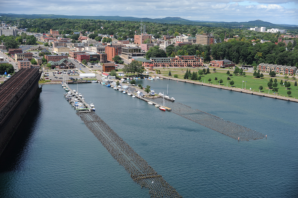
Paddlers of Michigan's Upper Peninsula coastlines should take a look at Superior Watershed Partnership's Great Lakes Shoreviewer.
The Great Lakes Shoreviewer provides professional color photography of every inch of coastline (and many islands) in the Upper Peninsula of Michigan (Lake Superior, Lake Michigan and Lake Huron). Each coastline photo also has a series of maps showing important natural features for planning and protection efforts.
Superior Watershed Partnership also has an app available for Apple iOS devices that allows access to this photography.
More Information: Lake Michigan Water Trail Upper Peninsula, Hiawatha Water Trail, Les Cheneaux Water Trail, Western U.P. Water Trail
Created on Friday, October 3, 2014

