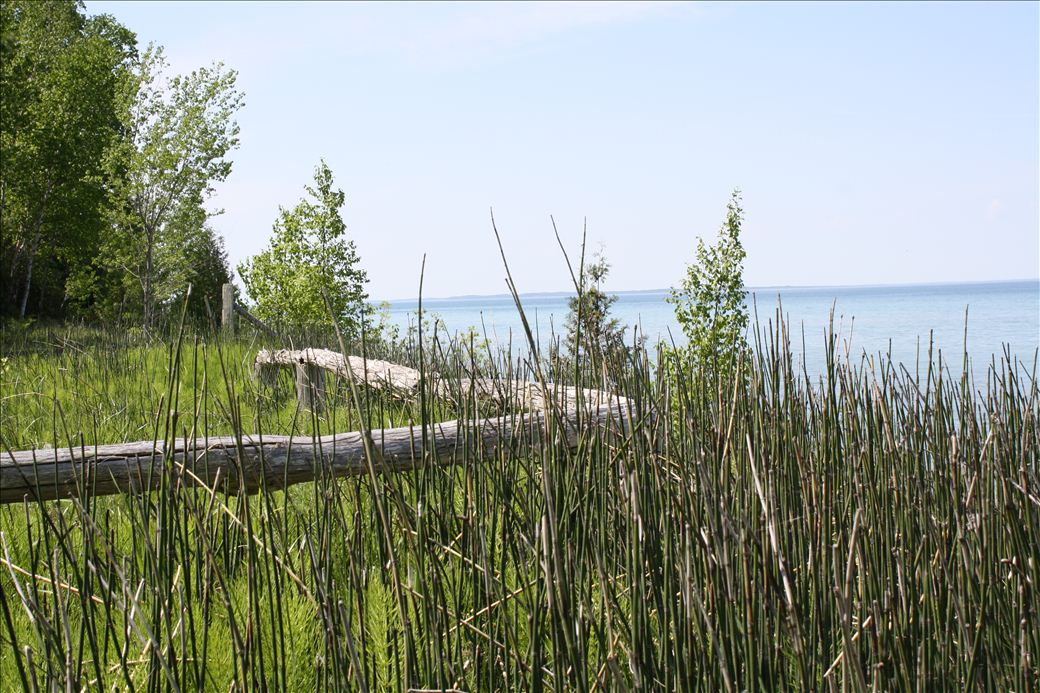
Road end cul-du-sac water access by stairs to shore. The address given is a private residence and for use of GPS navigation only. No signage exists, but split-rail fencing defines the access point from the road.


![]()
![]()
![]()
On Road Shoulder parking is available.
Carry-In boat access.
Length of access is less than 50 yards.
Stairs to shoreline and vegetation near to water's edge
3160 Michigan Trail
Kewadin, MI 49648
Kewadin, MI 49648
GPS: 45° 5.51400, -85° 21.96060