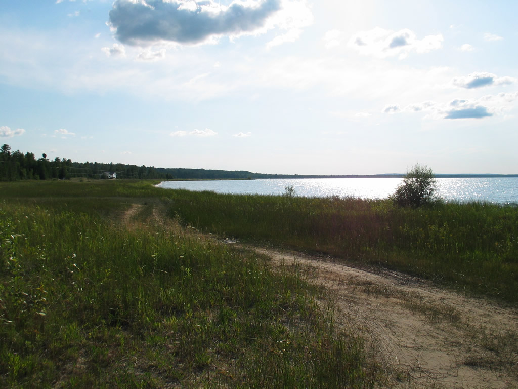
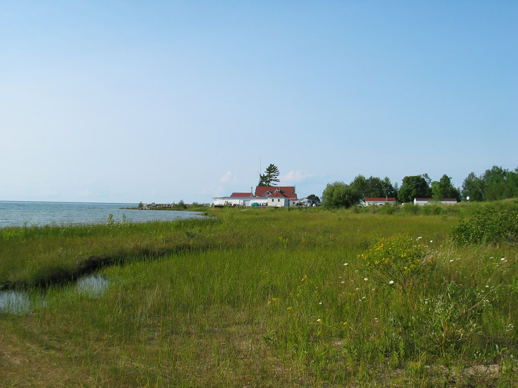
Beach Type: Wetland
Beach Approach: Low Banks
Notes:
Road Ending, short carry to the shoreline; Located next to the Hammond Bay Research Station and on Hammond Bay. There are a number of access points along this stretch of the coast, located 2 to 3 miles apart. Shallow areas near shore have large rocks and sand and cobble bars that can be dangerous when large waves are present
![]()
![]()
![]()


