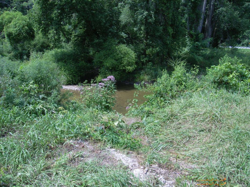
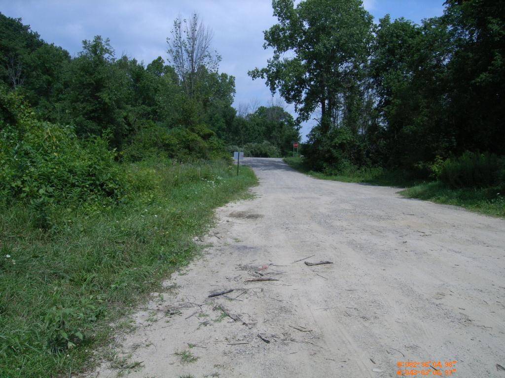
This is an easier place to park and carry a boat to the water's edge. This access point is on Mill Creek, right near its confluence with the Black River. A steep bank to carry a boat...
UPDATE SPRING 2012
Between this launch spot and the Black River, it is impassable by boat, due to large felled trees. Interested parties are attempting to clear the area of trees and brush.
![]()
![]()
![]()
Length of access is less than 50 yards.


