Riverfront Park
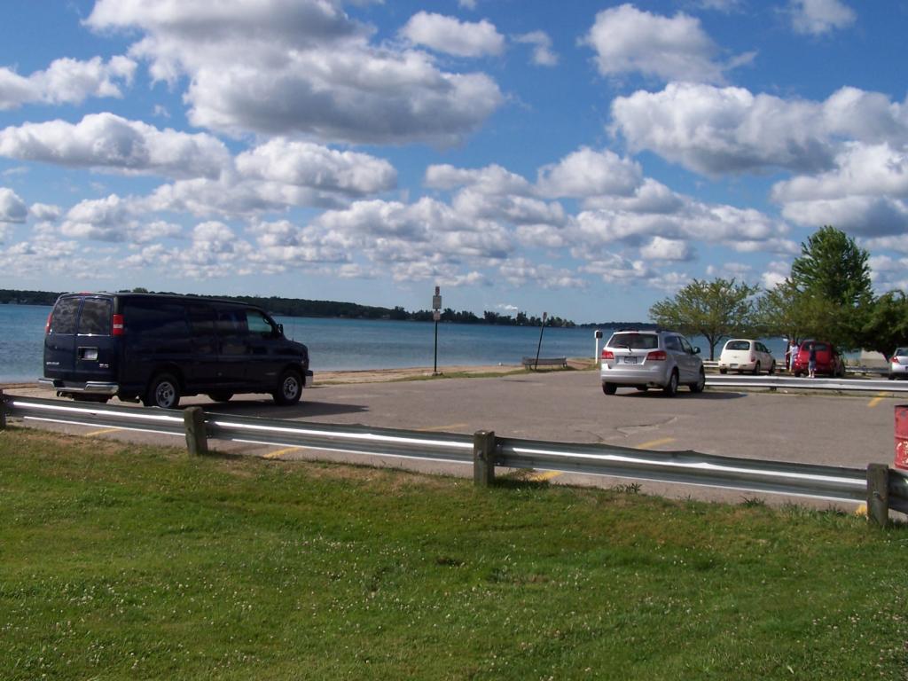
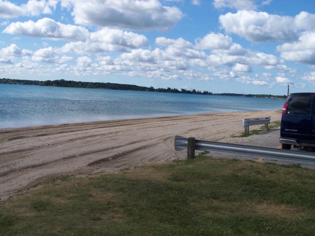
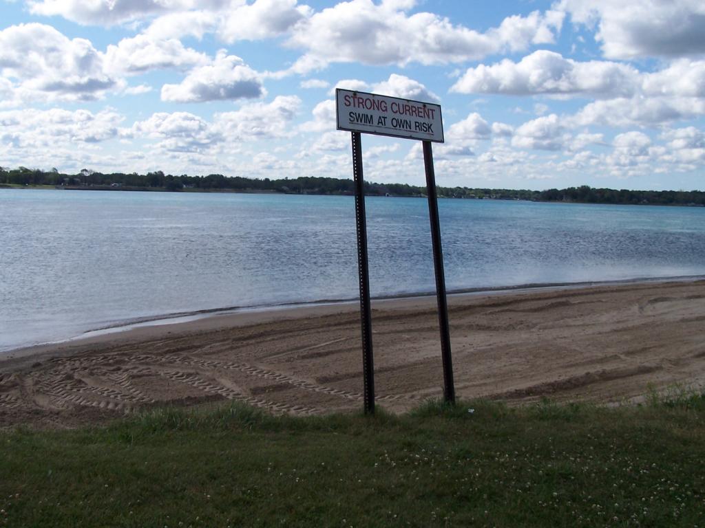
Riverfront Park follows the shoreline of the St. Clair River. Development of the land for recreation purposes has had many benefits. It has resulted in the preservation of waterfront views, allowed the city to stabilize the shoreline against erosion through the placement of sea walls and provided a number of recreation and open space assets. The park is handicap accessible, and includes landscaped sitting areas, a concrete walkway, lighting, a beach area and two boat launches. It is used regularly for walking, jogging, fishing, and as a water viewing area. It is one mile in length.
![]()
![]()
![]()
Length of access is less than 50 yards.


