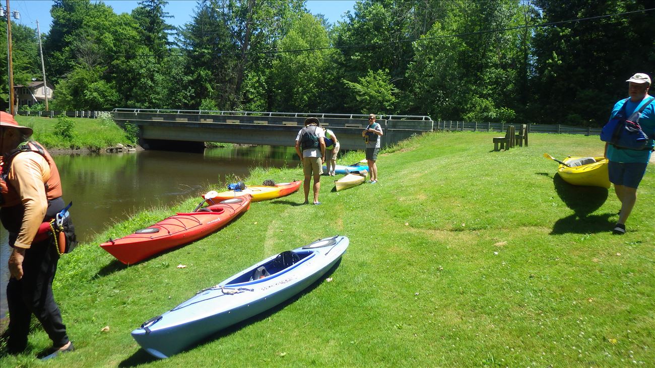
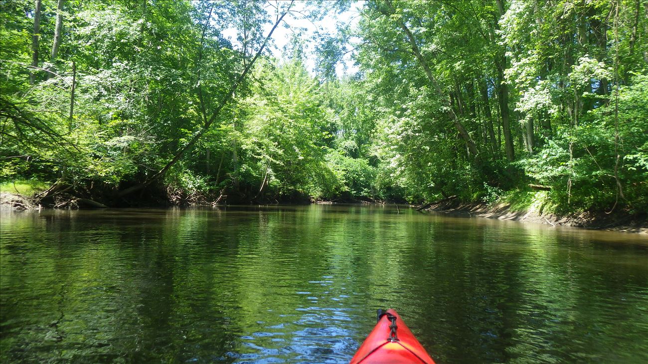
This is the put-in for a 2.5 mile trip downstream to 54th Street bridge. It is also the take-out for the 4.5 mile trip beginning upstream at 48th Avenue bridge. Once pathway clearing is completed this stretch is considered beginner friendly at normal water levels. Some logs may be exposed at low summer water levels.
After pathway clearing is completed for the season, the upstream stretch of river from 48th Ave down to Lawrence is considered Intermediate in terms of difficulty at normal water levels. However at extremely low water levels, exposed logs may cause some difficulty. Also, please be aware that at extremely high water levels, it is not possible to float under the bridge at Lawrence. If you are floating downstream towards the bridge and realize you can't safely fit under it, there is an emergency place to land your boat on River Right which is in the backyard of the 1st house north of the bridge. Of course if the river is that high, you shouldn't be on the water anyway.
To find this access, go north through Lawrence on St. Joseph Street and continue straight through traffic light. This road is also called CR 215/CR 673. Just before the bridge, there is a park on the left (west) side of road and this is where the access is. Once again in the summer of 2021, the village of Lawrence has placed a portable toilet at this access site.
![]()
![]()
![]()
![]()
![]()
Parking Lot parking is available.
Public restrooms are available (Portable Toilet).
![]()
Carry-In boat access.
Length of access is less than 50 yards.
Grassy river bank access but some spots can be slippery/muddy.
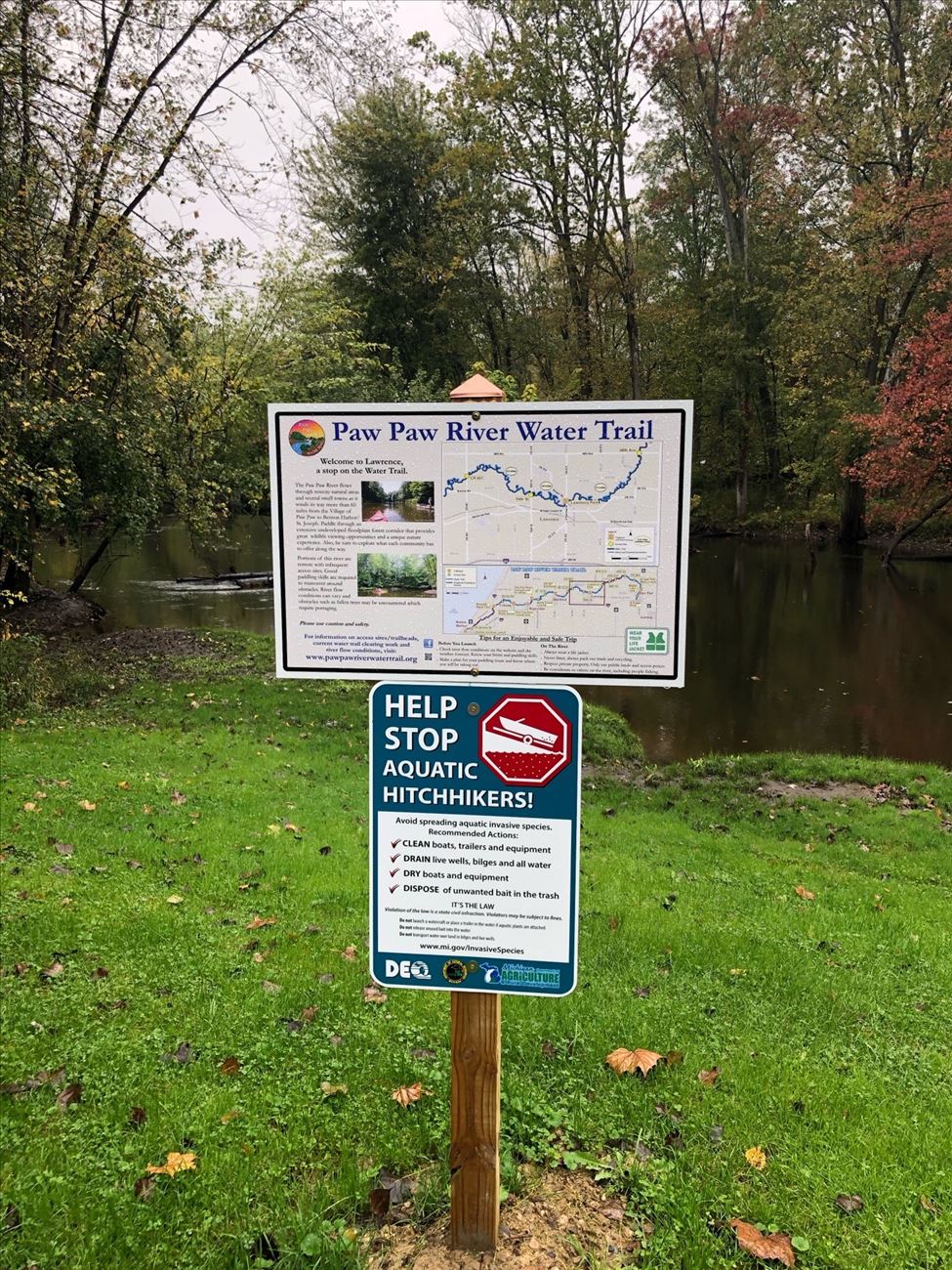
The sign for this site is in the water/on shore/bank (visible from water), along the road (visible from road).


