CR 665 Access
This access point can be used as a take-out for trips beginning 3 miles upstream at Maple Lake Dam or can be used to begin trips downstream towards 40th Street. Once pathway clearing is completed for the season this segment is considered beginner friendly at higher water levels, although occasional maneuvering from one side of the river to the other to reach a pathway through log jams is required. Some ducking under logs is also required. The river is a little more difficult at extreme low water, there may be exposed logs to haul over, and some shallow spots where you have to haul your boat a few yards over sand bars and/or mud flats to regain the deeper channel.
Next downstream access point is 40th St., which is 3 miles downstream. This segment downstream from CR 665 after pathway clearing work is completed for the season is considered Intermediate. However, it is more difficult at very low water levels and may require hopping over a log or two and/or may require a short portage.
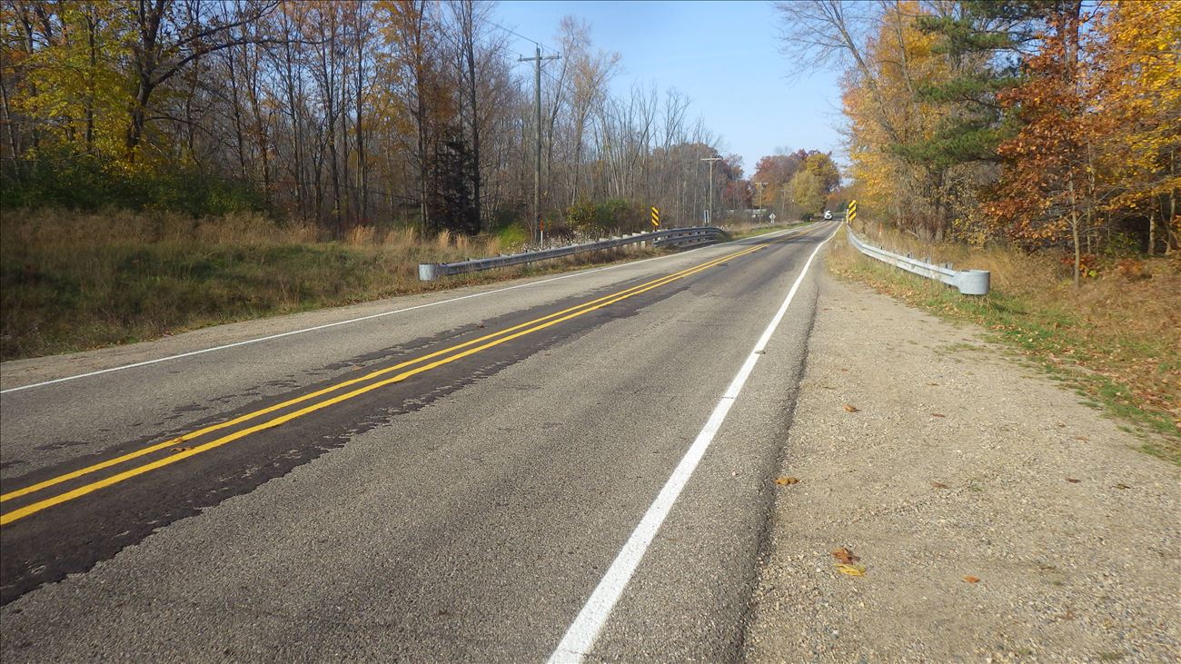
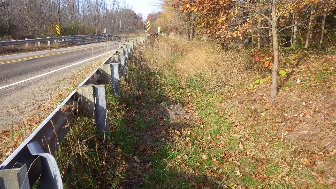
There is roadside parking south of the CR 665 bridge on either side of road (make sure to pull completely off pavement). Best access to river is on path just outside of guardrail on SE side of bridge. If taking out from river, look for first bridge and take out on River Left immediately before bridge.
On Road Shoulder parking is available.
Carry-In boat access.
Length of access is less than 50 yards.
Follow path behind guardrail on SE side of bridge down to river bank immediately upstream of bridge.


