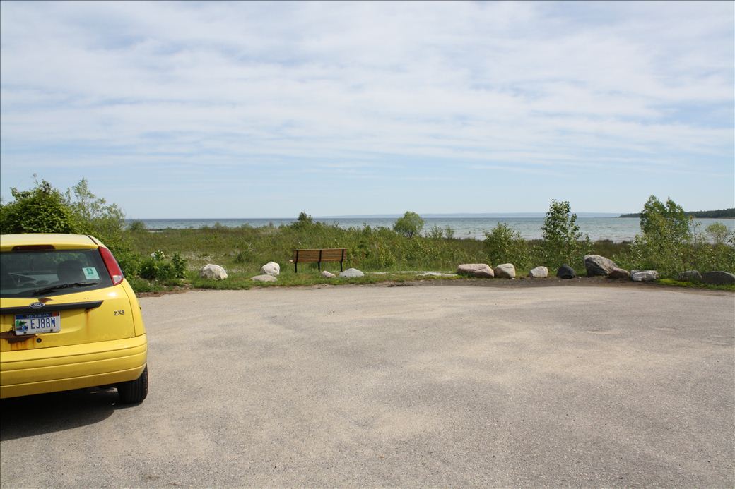
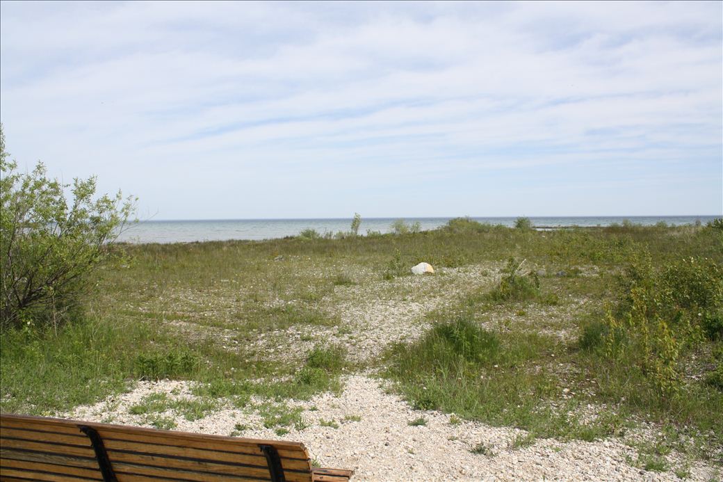
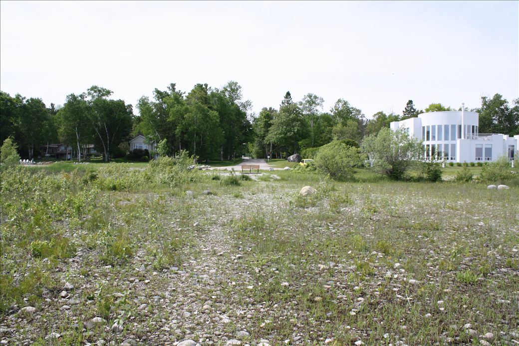
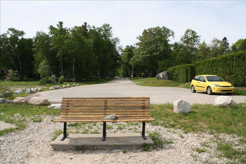
Site address given is a private residence and should be used for GPS navigation to site only. There is a public bench to rest on near the parking lot. Connected to bike path at the intersection of Mercer Rd and US 31.
![]()
![]()
![]()
![]()
Dead End/Road End parking is available.
Carry-In boat access.
Length of access is more than 50 yards.
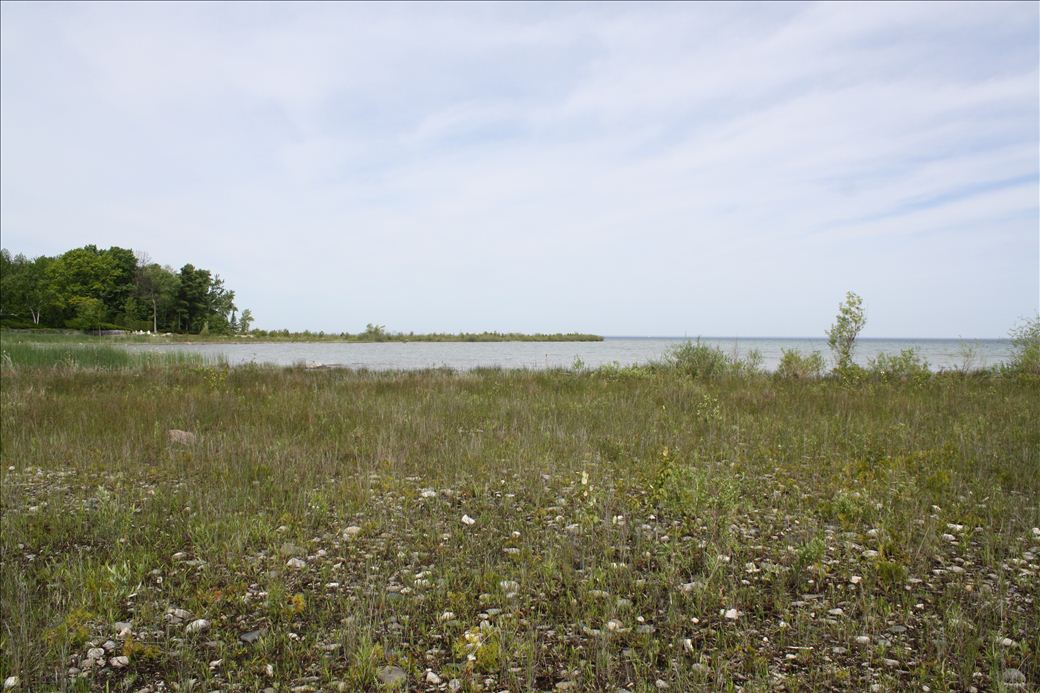
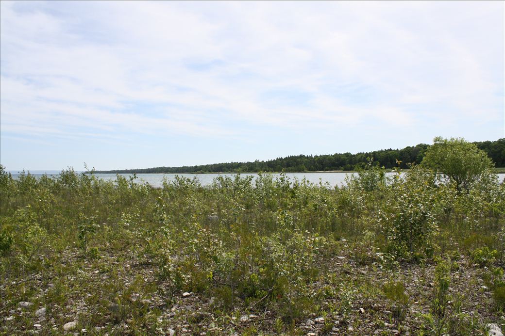
Low vegetation and sand, taller vegetation near actual shoreline
9899 Mercer Rd
Charlevoix, MI 49720
Charlevoix, MI 49720
GPS: 45° 20.35560, -85° 14.43000

